“A picture is worth a thousand words.” A 3D Image is worth millions. 3d Imagery shows details and perspective that 2 dimensional images just can’t show. You can move pictures around to see different angles and depths that can’t be seen in in normal pictures.
3D imagery can be used for large areas, buildings, vehicles, boats and pretty much anything you can imagine.
This the perfect technology for earth works, excavating, open mining, stockpile monitoring, construction progress, and more. It’s fast, safe, end economical.
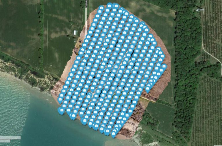
We start by flying over the site and take LOTS of pictures.
From that, our advanced software creates an orthophoto of the area, as well as a 3D point cloud and textured model of the site.
We then provide you link to a page showing the results. With this you can then obtain quick and accurate measurements of length, are and volume.
The results can be exported to various GIS software.
Below is an example of a link that you will receive. Feel free to click around and see what it can do.